An area that has already absorbed several body blows from Mother Nature is expected to be hit again this weekend.
The provincial government���߲��о����s Ministry of Transportation and Infrastructure says heavy snowfall is expected on Highway 3 between Hope and Princeton this weekend. According to a news release, ���߲��о����a strong Pacific frontal system will move onto B.C.���߲��о����s south coast tonight (Dec. 17), with snow accumulations as much as 30 centimetres through Saturday on Highway 3 east of Hope.���߲��о����
Highway 3 is still restricted to essential travel only.
Commercial vehicles must carry chains and winter tires are required on all other vehicles.
Highway maintenance contractors will be out in full force and drivers are being asked to do their part by being prepared and driving to conditions. The province cautions that road conditions can change quickly, and the highway may be closed with little or no notice.
For the latest road conditions, see
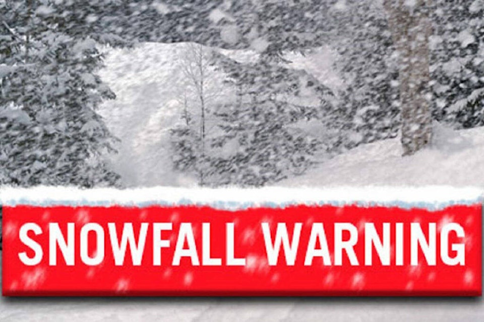
Meanwhile, Environment Canada has issued a snowfall warning for the Central and Eastern Fraser Valley. Starting later tonight (Dec. 17) and continuing through Saturday, ���߲��о����harsh winter conditions are expected.���߲��о���� That includes snow and the possibility of freezing rain.
���߲��о����Areas of the central Fraser Valley, including Chilliwack and Agassiz, can expect 10 centimetres of snowfall accumulation before a transition to freezing rain late Saturday morning,���߲��о���� the Environment Canada warning states. ���߲��о����Areas closer to Hope can expect snow to continue into late Saturday afternoon with accumulations upwards of 25 cm possible. A risk of freezing rain is also expected beginning late Saturday morning.���߲��о����
Southwesterly inflow winds are expected to move in mid to late Saturday afternoon, bringing warmer air and a transition to rain showers for some areas. Areas further east will see snow taper off to a few flurries late Saturday afternoon.
eric.welsh@theprogress.com
Like us on


