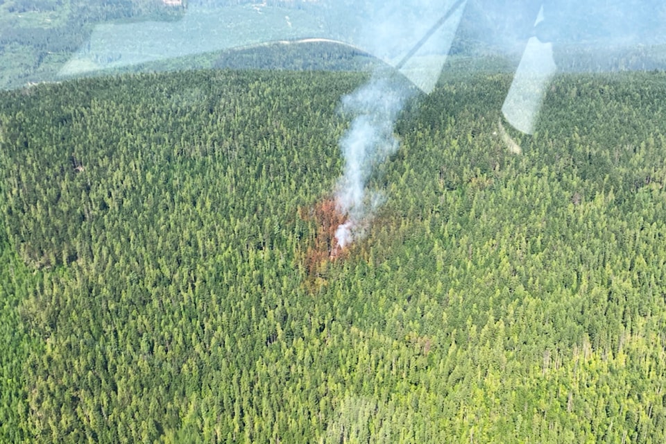
Among several wildfires discovered Thursday in the Columbia Shuswap Regional District, the Lower Blueberry Creek blaze was made a priority due to the proximity to Seymour Arm.
As of 5:30 p.m. on July 18, the Lower Blueberry Creek wildfire, located west of Seymour Arm, was at .8 hectares.
In a 5 p.m. update on fires in the region, the Columbia Shuswap Regional District (CSRD) said this wildfire, located above Dasnier's Bay, was actively being fought by the BC Wildfire Service (BCWS).
"A heavy bucket helicopter is actively bucketing the blaze and two Initial Attack crews have been dispatched," said the CSRD. "This fire is being given priority in the region because it is the closest wildfire to residences."
Earlier in the day the CSRD deployed structure protection and FireSmart teams to the Dasnier's Bay area to assist the community.
Later in the day, a second wildfire was discovered burning northeast of the Lower Blueberry Creek blaze. As of 2:30 p.m. it was a spot-sized fire at .009 hectares.
The most recent addition to the BCWS Current Wildfire Situation map was the .25 hectare Four Mile Creek wildfire burning northeast of Anstey Arm.
The cause of the most recent additions had not yet been determined, though Lower Blueberry and other wildfires found Thursday were caused by lightning.
The CSRD said the one-hectare Anstey Ridge fire burning south of Hunakwa Lake was in difficult terrain. Responding was a BCWS heavy bucket helicopter and RapAttack resources.
To the south, and north of Malakwa, the Queest Mountain wildfire was last estimated to be spot-sized.
Southeast of Sicamous, the Mara Mountain wildfire was at 5 hectares. The CSRD said this fire was located near the 2021 Two Mile fire burn scar above Sicamous, and was the largest fire in the region, located in steep terrain that is difficult for suppression.
"BC Wildfire has not deemed it a threat to any structures at this time," said the CSRD.
Two wildfires continued to burn northwest of Three Valley Gap. The Upper Griffin Mountain fire was last estimated to be spot sized. Not far to the east, another Griffin Mountain fire was last estimated at .44 hectares. The CSRD said a heavy bucket helicopter had been assigned to these and "progress is being made."
The regional district also made note of the two Bannock Creek wildfires burning near the Shelter Bay ferry crossing. One was .3 hectares and the other 1.3 hectares. As of 5 p.m., the CSRD said there was no impact to the ferry at that time.
All of the above wildfires were classified as out of control.
To report a wildfire, unattended campfire or open burning violation, call 1-800-663-5555 toll-free or *5555 on a cellphone.

