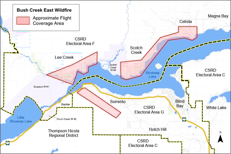
Geotechnical assessments are underway in the Shuswap and drones may be seen collecting data overhead.
The Columbia Shuswap Regional District is advising North and South Shuswap residents that the assessments being done are utilizing drones to capture orthophotographs. These images help geotechnical engineers determine the safety and stability of slopes in the area.
These assessments will help with the rebuilding process, said the CSRD.
A moratorium is currently placed on the issuance of building permits in wildfire-impacted areas until these assessments are complete and the area has been deemed safe from potential hazards including landslides, rock fall, flooding and erosion.
Spexi Geospatial, a contracted firm, is completing the work over the next week.
This is why drones are flying in the area, confirmed the CSRD.
Contact
Read more:
for our newsletter to get Salmon Arm and Sicamous stories in your inbox every morning


