As B.C.'s multi-year drought persists, Environment Canada says communities across the Okanagan were fortunate to experience either normal or close-to-normal rainfall totals in June.
But those welcome periods of precipitation last month could soon feel like a distant memory, experts warn, as the region gears this weekend up for a blast of heat and drier-than-normal conditions.
"This upcoming event is pretty much certain to have an impact on fire behaviour, generally speaking," began Armel Castellan, a meteorologist at Environment and Climate Change Canada.
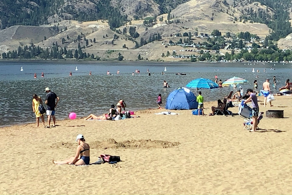
Daytime highs across the region will be between 10 C and 12 C above season starting this weekend, with temperatures expected to peak at close to 40 C on Tuesday, July 9.
Castellan described this week's forecast as a "prolonged heat event" but stopped short of comparing it to the heat dome of 2021.
"The 2021 event was above and beyond this by a large margin," the meteorologist said. "What we're going to see now is not as strong as what we've seen in historical pasts, but it's still reaching the threshold for heat warnings.
Temperatures in Kelowna, Vernon, Penticton and Salmon Arm are forecasted to be above 30 C from Saturday, July 6, through to at least Thursday, July 11. In some cases, overnight marks are set to hit close to 20 C.
The above-season numbers come after a close-to-seasonal June, both in terms of temperature and precipitation.
Castellan says communities across the Okanagan, with the exception of Vernon, recorded close-to-seasonal totals for rainfall. Kelowna and Penticton experienced 75 and 82 per cent of their normal precipitation marks for June, respectively.
Vernon, meanwhile, was a province-wide outliner.
The North Okanagan city, Castellan noted, saw 26 millimetres of rain. That equates to 44 per cent of its normal mark.
"Vernon was in the drier category, but it was nothing extreme. Those are very healthy locations for June."
Castellan described some periods of June as "temporary relief" from B.C.'s ongoing precipitation deficit but added that the next week could erase much of that ease.
"It only takes a week or so for it to evaporate," the meteorologist said. "As a result, we expect the fire danger to creep up steadily over the course of the next week."


