The Shetland Creek wildfire ���߲��о���� mapped at 23,758 hectares as of Sunday (July 28) ���߲��о���� is challenging firefighters on its south flank near Spences Bridge.
The BC Wildfire Service (BCWS) reports that the fire has spotted over existing fire guards to the west of Spences Bridge, and that crews are continuing to work along containment lines. The fire is burning in what BCWS describes as "unfavourable and challenging terrain" in the area of Murray Creek and along the creek's drainage, and helicopters are carrying out continuous water bucketing to lower the fire's intensity.
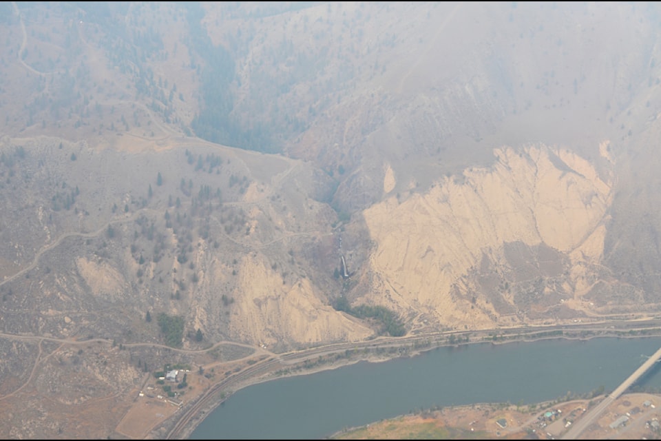
On Sunday afternoon the Thompson-Nicola Regional District (TNRD) expanded an evacuation order in the area to include three addressed properties near Murray Falls.
Once the fire is in more favourable terrain, crews will re-engage in direct attack. A series of low-intensity planned ignitions will also take place, which will result in increased smoke that will be highly visible in surrounding communities and from Highway 1. The highway remains open to motorists but is under a travel advisory, and could close suddenly and at short notice.
The community of Spences Bridge is not under direct threat, but structural protection crews are working alongside multiple agencies to safeguard the town.
Heavy equipment is constructing a guard in the southwestern section of the fire. There are 29 pieces of heavy equipment and 13 helicopters assigned to the fire, along with 199 firefighters (BCWS personnel, contract crews, and out of country resources) and 28 structure protection personnel.
In the Venables Valley area, crews ���߲��о���� along with the structure protection water tender ���߲��о���� continue to deal with hotspots as required.
Residents of the Saranagati Village in Venables Valley were able to visit the area on Saturday, July 27. A preliminary assessment conducted on July 21 showed that 20 structures had been lost in the community, including six primary residences. The TNRD has hired a recovery manager to help residents when they are able to begin the process of clean-up and rebuilding.
At its north end, a few kilometres from Ashcroft, the fire has not crossed Oregon Jack Road, and crews continue to work along the road to deal with hotspots. Structure protection personnel have been working along the road and in the southern part of Hat Creek Valley, adjacent to Oregon Jack Road, to place structure protection apparatus on buildings.
The Shetland Creek wildfire was discovered on July 12, and BCWS has said that it was caused by a lightning strike.
For more information about the Shetland Creek wildfire, and other fires throughout B.C., visit the . For information about highway conditions and closures, visit . You can also contact the TNRD's Emergency Operations Centre at (250) 377-7188 (toll-free at 1-866-377-7188).


