The Shetland Creek wildfire near Ashcroft is standing at 13,236.1 hectares, according to the latest information from the BC Wildfire Service (BCWS) at 11 a.m. on Saturday, July 20.
A statement from BCWS said that Saturday was forecast to be hotter and drier than Friday, which saw Ashcroft reach a high of 34 C. Environment Canada says that Ashcroft will hit a high of 39 C on Saturday, and 41 C on Sunday, July 21.
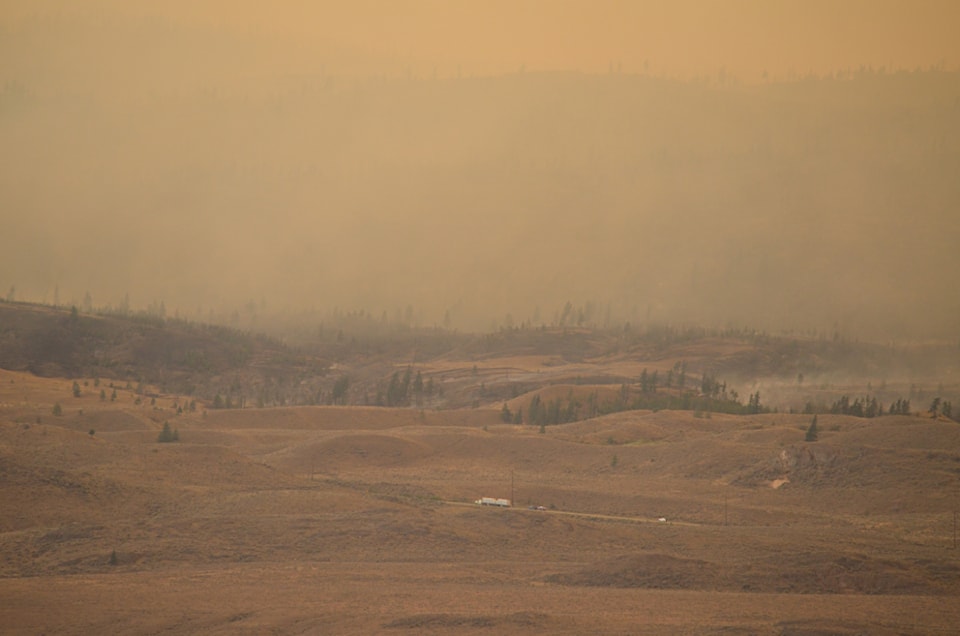
The hot, dry weather will result in "aggressive burning conditions with increased fire behaviour," according to BCWS. Winds will be south-southeasterly and gusting to 15���߲��о����25 km/hr, which is less than in previous days. Smokey conditions were expected for the morning, which should delay the fire's activity but will result in poor visibility for flights.
Afternoon conditions could lead to extreme fire behaviour, particularly in the upper slope regions of the north flank of the fire.
An incident management team has operational control of the incident, and 125 firefighters are responding to it. Ten helicopters have been assigned to the Shetland Creek wildfire, and there is a structure protection branch director, two structure protection specialists, and 21 structure protection personnel, along with structure protection equipment including trailers, engines, and water tenders. Sixteen pieces of heavy equipment are also assigned to the incident.
Friday saw reduced fire behaviour along the Highway 1 corridor north of Venables Valley. The highway will remain open until/unless it is determined to be unsafe for travel. However, motorists are being warned that conditions can change rapidly, so check DriveBC at for updates, and consider taking alternative routes to and through the area.
Overnight on July 19���߲��о����20, a 23-person unit crew, two initial attack crews, structure protection personnel, and a helicopter engaged in night operations in Venables Valley and along the Oregon Jack Road (Hat Creek Road). Personnel remained on site overnight to action hot spots along Oregon Jack Road and to reinforce containment lines in the Venables Valley community.
Residents of that community have been informed that structures have been lost, but the number and nature of those structures has not yet been determined. Officials will go into the area when it is safe to do so to make an assessment and contact residents.
Heavy equipment is continuing to construct a contingency guard tying into Blue Earth Lake northwest of the Hat Creek Valley, to keep the fire east of Hat Creek Valley.
On the south flank of the fire near Spences Bridge, operations are ongoing. Crews are supporting heavy equipment operations as they construct a contingency guard along Murray Creek and East Murray Creek, which connects to Rannie Pit Road above Spences Bridge.
On Friday, Interior Health announced that 21 long-term care residents at Jackson House at the Ashcroft Hospital, and five assisted living residents from the nearby Thompson View Lodge, had been moved from Ashcroft to an alternative location. Their families have been informed of their new locations. This is a precautionary measure on the part of Interior Health.
The only portion of the Village of Ashcroft that is on evacuation order is the Ashcroft Ranch area along Highway 1. The rest of the village is on evacuation alert.
In the event that an evacuation order is put in place, notices containing important information about where and how to register for Emergency Support Services, how to access accommodation, which route(s) out of town to take, and more will be hand-delivered to every household in the village.
The Village of Ashcroft is arranging transportation for those who need it, in the event that an evacuation order is put in place. These details will be coming as soon as they have been finalized.
The Ashcroft Indian Band has put their reserve land at Highway 1 and Cornwall Road on alert, and a portion of the Village of Cache Creek along Highway 1 south of the village is on evacuation alert.
Please continue to check reliable sources such as the , DriveBC, the , and local government/First Nation websites and social media channels for information.


